News Summary
Residents of York and Chester counties are on high alert as severe thunderstorms approach, with warnings from the National Weather Service indicating strong winds and potential hail. The storms are expected to bring gusts of up to 40 mph and heavy rainfall, raising concerns about flash flooding. The NWS advises residents to stay indoors and take precautions, especially in areas prone to flooding. With more storms anticipated, the community is urged to remain vigilant and stay informed through local news for updates.
Severe Thunderstorm Warnings Hit York and Chester Counties
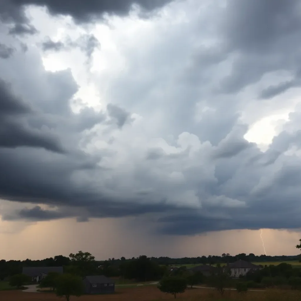
York, SC – As the skies turn ominous, residents in York and Chester counties have been put on alert following updated reports of severe thunderstorms. The National Weather Service (NWS) issued a warning at 6:53 p.m. on Friday, forecasting strong thunderstorms that would last until 7:45 p.m. The alert extends to neighboring areas including Union County as well.
What to Expect
Heads up, folks! As these storms roll in, you might encounter pea-sized hail—about 0.25 inches in diameter—and wind gusts reaching up to 40 mph. That’s strong enough to knock down some tree limbs and send those garden flamingos tumbling! Doppler radar detected these storms moving at a steady 25 mph in a line extending from Rock Hill to Lancaster, Chester, and Union.
Locations on Alert
If you’re in spots like Chester State Park, Richburg, Leeds, Cornwell, Edgemoor, and Great Falls, keep your safety gear ready. Even areas like Lesslie, Catawba, and Lockhart could see some of the action!
Stay Safe Inside!
With thunder and lightning becoming a serious concern, the NWS is urging all residents to seek shelter indoors. Lightning isn’t just a scary specter; it’s one of nature’s top killers. It’s reported that there are about 25 million lightning strikes across the U.S. each year, accounting for approximately 20 fatalities annually, primarily during the summer months. So, it’s vital to stay away from windows and those trusty porches!
Lasting Impacts
Torrential rainfall could also be on the agenda, with flash flooding a real possibility. Drivers should take extra caution and avoid driving through flooded roadways. Remember, advancing storm systems bring not just rain but risks of hydroplaning, where vehicles may lose traction on slick surfaces due to water build-up.
Further Alerts to Note
More Thunderstorm Activity Ahead
Essential Safety Tips
As storms loom in the forecast, preparations for even more thunderstorms are expected. It’s always wise to stay tuned to local radio and television stations for guidelines and updates. Remember, it’s better to be safe than sorry!
So, whether you’re at home enjoying your evening or out and about, keep your safety hat on and be prepared for nature’s surprise show!
Deeper Dive: News & Info About This Topic
HERE Resources
One Dead in Late-Night Shooting in Clinton, SC
Shooting Incident Claims Life in Clinton, SC
Storm Alerts in the Midlands: Prepare for Severe Weather!
Severe Thunderstorm Warnings Affect Laurens Area
Severe Thunderstorm Warnings Issued for Laurens and Union Counties
Severe Thunderstorm Warning in Laurens County, SC
Severe Thunderstorm Warnings Issued for Midlands Residents
Severe Thunderstorm Warning for Greenville and Laurens Counties
Spring Showers and Storms Expected in Colorado City
West Main Street in Laurens to Undergo Major Construction
Additional Resources
- Island Packet: Severe Thunderstorm Warnings
- Wikipedia: Thunderstorm
- Myrtle Beach Online: Weather Updates
- Google Search: Thunderstorm Safety
- York Daily Record: Severe Storms Warning
- Google Scholar: Thunderstorm Warnings
- Evening Sun: Severe Thunderstorm Warning
- Encyclopedia Britannica: Thunderstorm
- WGAL: Susquehanna Valley Severe Thunderstorm Warning
- Google News: Thunderstorm Watch