News Summary
The National Weather Service has issued severe thunderstorm warnings for Laurens and Union counties, warning residents of strong winds gusting up to 40 mph. The storm is moving northeast, and affected areas include Cross Keys, Joanna, and Clinton. Safety precautions are urged as previous storms have caused significant damage. Stay indoors and secure loose items outside to prevent hazards.
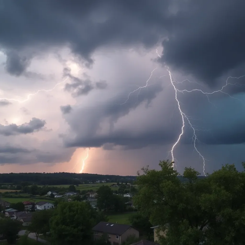
Severe Thunderstorm Warnings for Laurens and Union Counties
Alright, folks in Laurens and Union counties, it looks like you’re in for some wild weather! The National Weather Service (NWS) in Greenville-Spartanburg issued an updated weather alert on Monday at 11:07 p.m. This alert is all about the strong thunderstorms rolling in, and it’s going to be around until 11:45 p.m. Buckle up!
What to Expect
As the storm is moving through, expect wind gusts that can reach up to 40 mph. That’s no gentle breeze; you might want to secure any loose items around your yard. Strong winds can easily knock down tree limbs and send anything not tied down flying! So, it’s a good idea to take those precautions right away.
Where is it Happening?
This alert is particularly relevant for these areas:
- Cross Keys
- Rose Hill State Park
- Joanna
- Sedalia
- Monarch Mill
- Carlisle
- Clinton
- Santuc
- Buffalo
- Union
So, if you find yourself in any of these spots, it’s time to stay alert!
Storm Movement
Doppler radar has picked up a strong thunderstorm located about 15 miles southwest of Union, or roughly 6 miles west of Whitmire, moving towards the northeast at a brisk speed of 30 mph. Always a good idea to keep your eyes on the sky.
Safety First!
During these thunderstorms, the NWS encourages everyone outdoors to find safe shelter inside a building. It may feel a bit dramatic, but your safety should always come first! Remember, lightning and dangerous winds can occur quickly, and it’s something we should never take lightly.
Past Warnings
This isn’t the first warning for Laurens County. Just last Saturday, at 2:53 p.m., a severe thunderstorm warning was also issued for the area until 3 p.m. It brought wind gusts of up to 60 mph and even quarter-sized hail! Residents were advised to seek safety in an interior room on the lowest floor of their buildings. If you missed that warning, you’re definitely not going to want to ignore this one!
Thunderstorm Trivia
On a lighter note, did you know that the United States experiences about 25 million lightning strikes each year? Yikes! Most of these strikes happen during the summer, resulting in around 20 fatalities annually. When a thunderstorm approaches, the likelihood of lightning increases, peaking when it’s right above you. So, stay indoors when lightning strikes; it’s definitely better safe than sorry!
Watch Out for Hydroplaning
And as the rain pours and the roads get slick, let’s talk about hydroplaning. It’s that unsettling feeling when your vehicle starts sliding uncontrollably on wet surfaces. This occurs because water builds up in front of your tires, lifting your vehicle and causing it to slide on the water layer. So, if you’re driving, keep your speed down and maintain a safe distance from other vehicles. It could save you from a nasty surprise!
Wrapping Up!
Weather isn’t exactly something we can control, but staying informed is definitely in our hands! Residents of Laurens and Union counties should be prepared for strong thunderstorms, take precautions, and prioritize their safety. Keep an eye on the forecast as things can change quickly. Here’s hoping you all stay safe and dry!
Deeper Dive: News & Info About This Topic
HERE Resources
Severe Thunderstorm Warning in Laurens County, SC
Severe Thunderstorm Warnings Issued for Midlands Residents
Severe Thunderstorm Warning for Greenville and Laurens Counties
Spring Showers and Storms Expected in Colorado City
West Main Street in Laurens to Undergo Major Construction
Severe Thunderstorm Alerts Issued for Laurens and Greenwood Counties
Tragic Loss: Community Mourns 9-Year-Old Boy Swept Away by Floods
Weather Alerts and Local Events for Upstate Residents
Severe Weather Hits Columbia: Tornado and Thunderstorm Warnings
Severe Weather Warnings Issued for Columbia and Lexington Counties
Additional Resources
- The State
- Wikipedia: Thunderstorm
- Myrtle Beach Online
- Google Search: Thunderstorm Preparation
- Island Packet
- Encyclopedia Britannica: Lightning
- WSPA
- Google News: Thunderstorm Safety
- GoLaurens