News Summary
Alaska’s Governor Mike Dunleavy has declared a disaster as Juneau faces the imminent risk of catastrophic flooding from the troubled Suicide Basin, a side basin of Mendenhall Glacier. Recent assessments show dangerously high water levels that threaten the Mendenhall River and surrounding communities. Local and federal authorities are on alert after experiencing significant flooding in previous years, prompting immediate evacuation measures and the installation of protective barriers. Preparedness plans reflect lessons learned from past incidents as the region braces for expected floods heightened by climate change.
Alaska Governor Takes Action Amid Glacier-Dammed Flooding Threat
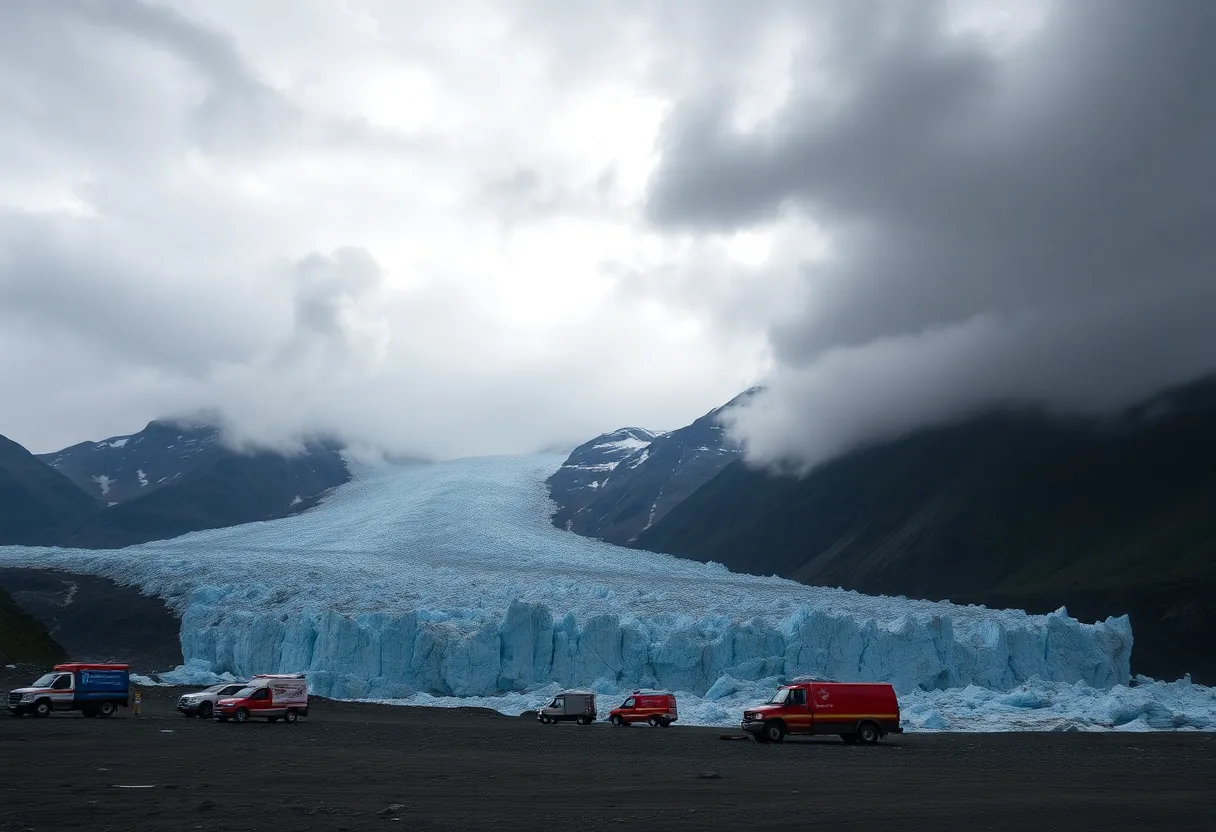
Alaska’s Governor Mike Dunleavy has made an important decision to declare a disaster in light of an *imminent threat of catastrophic flooding* looming over Juneau. This action comes in response to alarming conditions in the region, related to Suicide Basin, which is a side basin associated with the well-known Mendenhall Glacier.
Why the Urgency?
A recent assessment revealed that water levels in Suicide Basin have reached what could be considered a danger zone, with readings matching those seen during previous significant flooding events. This has put local and federal authorities on high alert, as the potential release of water from the basin could occur at any moment, drastically impacting the Mendenhall River and the neighborhoods nearby.
Recent Flooding Events
It’s worth noting that local communities have already faced substantial challenges with flooding in the past couple of years, particularly in Augusts of 2023 and 2024, which also led to disaster declarations at both state and federal levels. The aftermath of these flooding incidents hit hard, resulting in extensive damage to homes, vital public infrastructure, and essential utilities.
Monitoring and Preparedness
The National Weather Service has stepped in, activating monitoring systems, signifying that Suicide Basin is reaching critical limits and beginning to overflow. Notices alerting residents within a 17-foot inundation zone are currently being distributed, aiming to encourage swift evacuations as river levels are expected to rise dramatically.
Upcoming Projections
Forecasts suggest that the Mendenhall River could crest at approximately 16.6 feet, which would surpass the previous record of 15.99 feet set last August. With a mix of melting snow and rainfall contributing to heightened flood risks, the situation is looking precarious.
Protective Measures in Place
To mitigate potential damage, HESCO barriers have been strategically installed to shield vulnerable areas. Meanwhile, the Alaska State Emergency Operations Center is fully activated, ensuring local and tribal emergency responses align effectively as they navigate through this crisis.
Enhancing Readiness
Local officials have communicated their preparedness, emphasizing that this year’s response plan is more robust than before, reflecting lessons learned from past experiences. The National Weather Service will continue to provide updates, with flooding likely occurring sometime between late Tuesday and Wednesday.
Acknowledging Climate Change Impacts
Experts have pointed out that glacier outbursts have been becoming more frequent and severe, a trend attributed to the ongoing impacts of climate change and the melting of glaciers. With unpredictable flood levels often leading to catastrophic consequences for life and property, this situation remains closely watched.
Resident Guidance
Residents are urged to prepare for immediate evacuation, with advice to gather essential items ahead of time. Being ready can make all the difference in ensuring safety during such critical events.
Frequently Asked Questions (FAQ)
What is a glacier lake outburst flood (GLOF)?
A glacier lake outburst flood occurs when water from a glacial lake escapes, often leading to rapid and large-scale flooding downstream.
How can residents prepare for potential flooding?
Residents are encouraged to set aside necessary items for evacuation and stay informed through local emergency updates.
Why are the flooding situations becoming more severe?
Increased frequency and severity of flooding are linked to climate change affecting glaciers, leading to instability in glacial lake waters.
What is being done to protect at-risk areas?
HESCO barriers are being installed, and state emergency operations are coordinating responses to minimize impacts from flooding.
Key Features of Flooding in Juneau
| Feature | Description |
|---|---|
| Disaster Declaration | Governor issued a declaration due to imminent flooding threat. |
| Suicide Basin | Side basin of Mendenhall Glacier linked to flooding risks. |
| Monitoring | National Weather Service activated systems, indicating critical conditions. |
| Evacuation Zone | 17-foot inundation zone announced for residents. |
| Historical Context | Previous flooding led to significant disaster declarations in 2023 and 2024. |
| Expected Flood Crest | Mendenhall River projected to crest at 16.6 feet. |
| Preventative Measures | Installation of HESCO barriers to protect vulnerable regions. |
| Climate Change | Associated with increased frequency and severity of glacial outbursts. |
Deeper Dive: News & Info About This Topic
- Fox Weather: Juneau Alaska Glacial Lake Outburst Flooding Disaster
- Wikipedia: Glacier Lake Outburst Flood
- CNN: Juneau Alaska Glacier Outburst Flooding Climate
- Encyclopedia Britannica: Climate Change
- CBS News: Alaska Juneau Glacier Lake Outburst Imminent Threat
- Google Search: Juneau Glacier Outburst Flooding
- Alaska News Source: Governor Issues State Disaster Declaration
- Google Scholar: Glacier Lake Outburst Flood
- Alaska Beacon: Juneau City Officials Ask Residents to Leave Area
- Google News: Alaska Flooding 2025